New Delhi, Sep 25 (IANS) The Ministry of Panchayati Raj has launched a series of digital reforms, ranging from AI-driven meeting records to geo-spatial planning and citizen-focused mobile apps, to strengthen Gram Panchayats, according to an official statement issued on Thursday.
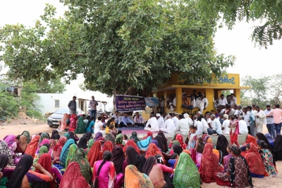
Initiatives such as SabhaSaar — an AI-powered tool for recording and summarising Gram Sabha proceedings, SVAMITVA for digital land mapping and property rights, eGramSwaraj for integrated online planning, accounting and monitoring, Meri Panchayat mobile app for citizen access to local data, and Gram Manchitra for geo-spatial planning — are transforming the way Panchayats function.
These platforms not only improve transparency and efficiency but also empower citizens to participate more actively in local governance. As on August 2025, 2.63 crore property cards have been prepared in 1.73 lakh villages while as of July 2025, drone surveys have been completed in 3.23 lakh villages, the statement explained.
The success of the digital drive is reflected in the fact that 2.54 lakh Gram Panchayats have uploaded their Gram Panchayat Development Plan (GPDP) on the eGramSwaraj portal while 2.41 lakh Gram Panchayats have completed online transactions for 15th Finance Commission grants, the statement pointed out.
The Ministry launched SabhaSaar in August 2025, which is an Artificial Intelligence (AI) tool that creates structured minutes of meetings from the audio or video of Gram Sabha and other Panchayat gatherings. Until now, preparing minutes was a slow, manual and often inconsistent exercise. SabhaSaar changes this by producing accurate summaries in real time.
It is linked with ‘Bhashini’, the National Language Translation Mission, which allows it to work in 14 Indian languages. This makes it accessible to communities across diverse regions. With the help of SabhaSaar, Gram Panchayat officials can now focus more on governance and service delivery, while the tool handles the documentation work, thus ensuring real-time, unbiased records and greater transparency, the statement said.
The SVAMITVA (Survey of Villages and Mapping with Improvised Technology in Village Areas) Scheme by the Prime Minister gives rural households legal ownership papers for the homes and land they occupy.
Using drones and advanced mapping tools, it clearly marks property boundaries. With these documents, families can obtain bank loans, resolve disputes and make better use of their assets, while Gram Panchayats gain by improving property tax collection and enabling better resource planning.
The scheme is implemented by Ministry of Panchayati Raj with support from the Survey of India, with the National Informatics Centre Services Inc. (NICSI) as the technology partner. It has an approved cost of Rs 566.23 crore from FY 2020-21 to FY 2024-25, with an extension up to FY 2025-26.
SVAMITVA has ended decades of reliance on revenue officials and patwaris for demarcating land ownership. The programme enables villagers to map their own land with modern tools, giving them authority and security. Its success has drawn attention worldwide and inspired other countries to explore similar approaches, the statement said.
The government launched BharatNet in October 2011 to bridge the digital divide. The project aims to deliver affordable, high-speed internet to every Gram Panchayat.
Implemented by the Ministry of Communications, BharatNet seeks to empower rural communities, support inclusive growth and bring villages closer to urban standards of connectivity. It is not only an infrastructure project but also the backbone of India’s march towards a digital nation, the statement added.
–IANS
sps/na


