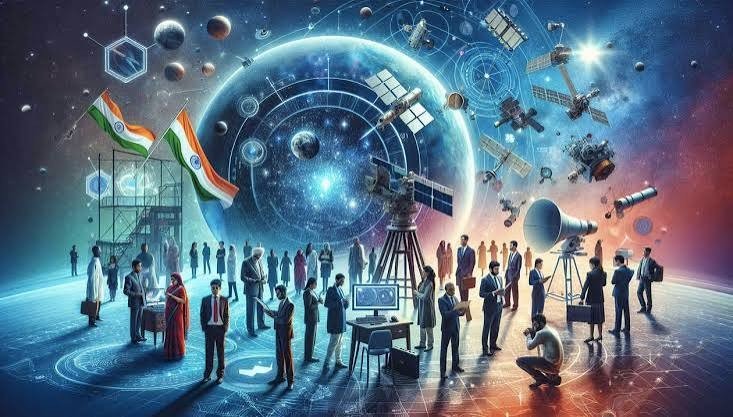
Uttar Pradesh is moving toward making extensive use of space science by linking development and good governance with new technology. From accurate mapping of farmers’ fields to urban planning, disaster management, planning roads and bridges, and better management of water resources, satellite-based technology will become part of the governance system. Space technology is becoming a key foundation for achieving the goal of ‘Viksit Uttar Pradesh-2047’.
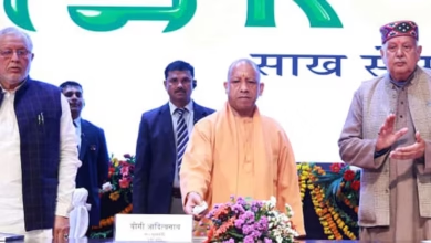
The two-day 11th Space Applications Adoption Workshop, jointly organized by the Remote Sensing Applications Center, Uttar Pradesh (RSAC-UP), IN-SPACe under the Department of Space, Government of India, and the state’s Urban Development Department, began on Thursday at the Dr. Ram Manohar Lohia Uttar Pradesh Academy of Administration and Management, Lucknow. Science and Technology Minister Anil Kumar and Chief Secretary S.P. Goyal inaugurated the workshop.
Science and Technology Minister Anil Kumar appealed to IN-SPACe experts and industry partners nationwide to take space technology beyond laboratories and bring it to villages and fields. He said satellite and remote sensing technology can make agriculture more scientific.
He emphasized increasing the use of these technologies to boost production in areas with limited irrigation, monitor crops, assess drought and flood situations, and provide farmers with necessary information on time. Along with this, space technology should also be used for scientific planning of health, education, roads, bridges, canals and other infrastructure.
Chief Secretary S.P. Goyal emphasized the geo-tagging of all plots in the state. He said this would enable farmers and landowners to get accurate information on their fields’ actual boundaries and help resolve land-related disputes. Changes in the land revenue rules may also be considered as required. He spoke of mapping 100 percent of the state’s houses through space applications to strengthen the building tax system. This could help urban local bodies increase their resources and revenue.
IN-SPACe Director Air Vice Marshal D.B. Khot presented on India’s space program, grassroots development work, and the pre-disaster warning system. He emphasized adopting space applications according to local needs. Principal Secretary, Science and Technology, Pandhari Yadav, shared information on the work RSAC-UP is undertaking through satellite technology in agriculture, forests, water, land resources, urban planning, infrastructure, and disaster management. Special Secretary Ramesh Chandra called for integrating innovation and Artificial Intelligence with space technology to give new momentum to the state’s development.
Experts from more than 50 departments and districts, including Urban Development, Housing, Transport, Energy, Health, Education, Agriculture, Irrigation, Forest and Rural Development, participated in the workshop. Twenty-two industry partners presented space-based technological solutions through PowerPoint presentations, while 75 private firms also participated. During the pre-inaugural session, RSAC-UP also released the Urban Geo-Portal and booklet.
The workshop identified urban development, water resources, disaster management, agriculture, and rural development as major focus areas. The increasing use of space technology will make monitoring and implementing government schemes more transparent, accurate, and time-bound. The coordination of satellite data, geo-mapping, remote sensing, and Artificial Intelligence is expected to give a new direction to smart governance, as well as agricultural productivity, disaster management, urban planning, and infrastructure development in the state. This will also strengthen Uttar Pradesh’s rapidly emerging space economy.
Satellite Technology to be used from farmers’ fields to urban planning, more than 50 departments jointly prepare action plan
Science Minister Anil Kumar and Chief Secretary S.P. Goyal inaugurate 11th Space Applications Adoption Workshop